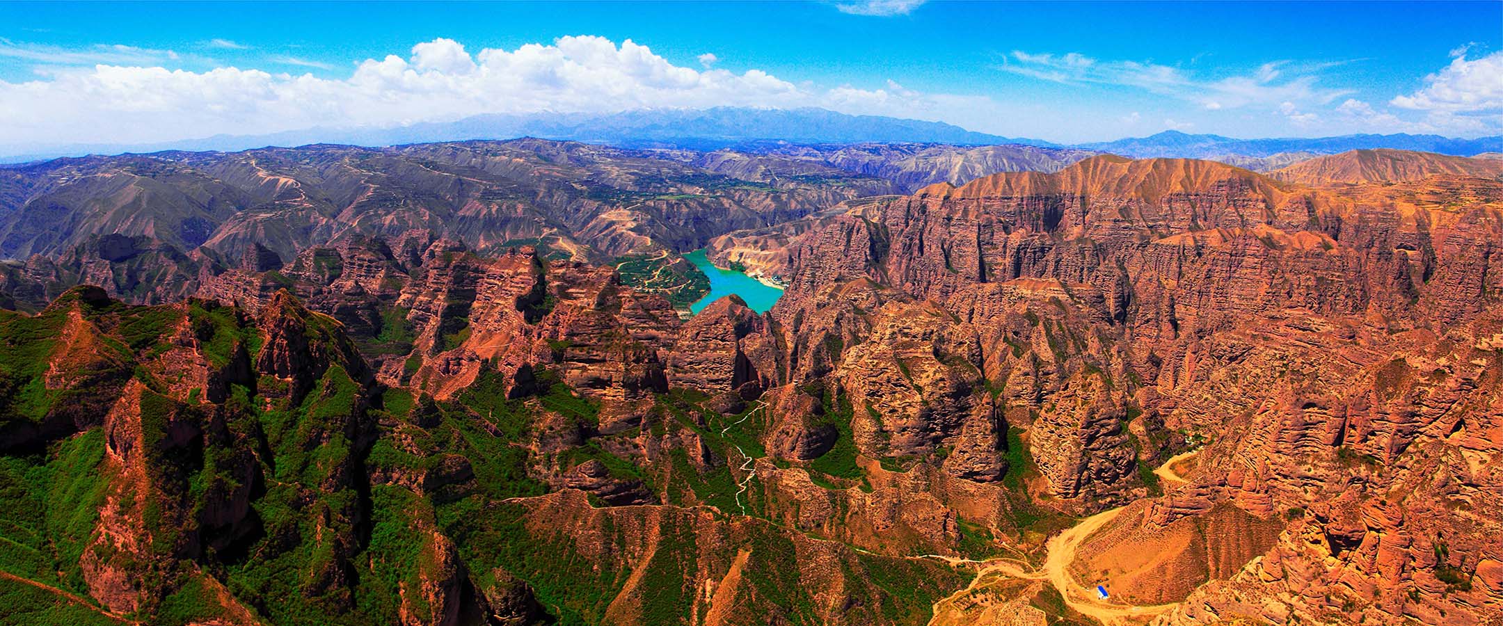
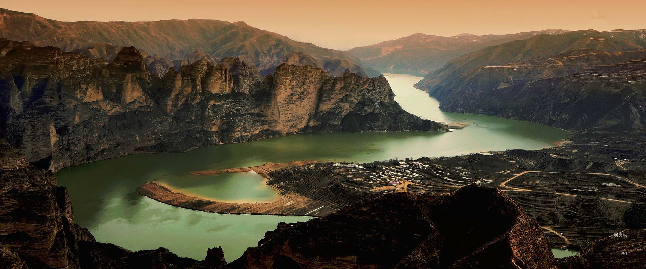


临夏世界地质公园大地构造位置位于西秦岭地块北部的太子山褶断带东侧;地处天水—临夏断陷盆地南缘。区内地质建造与构造相对简单。
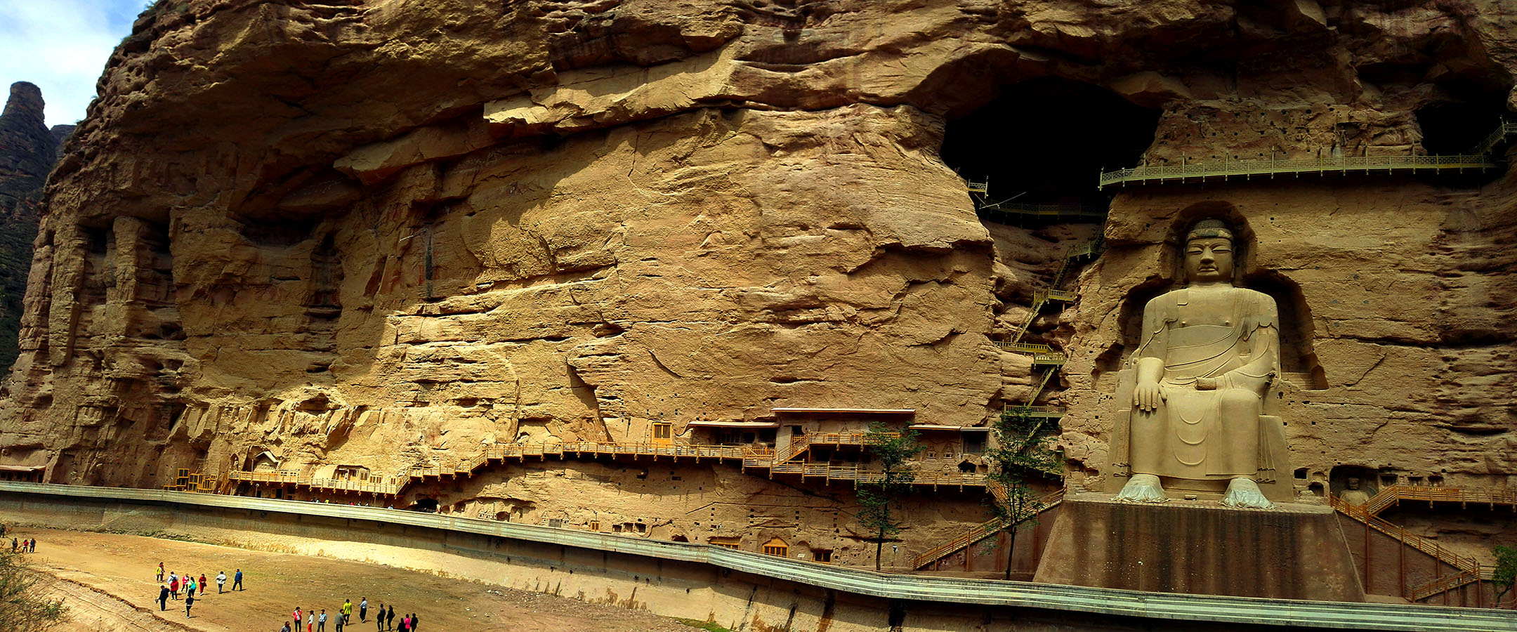
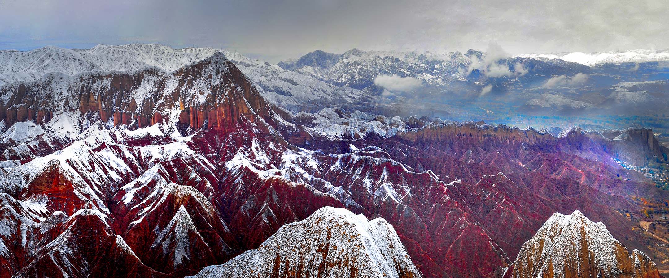
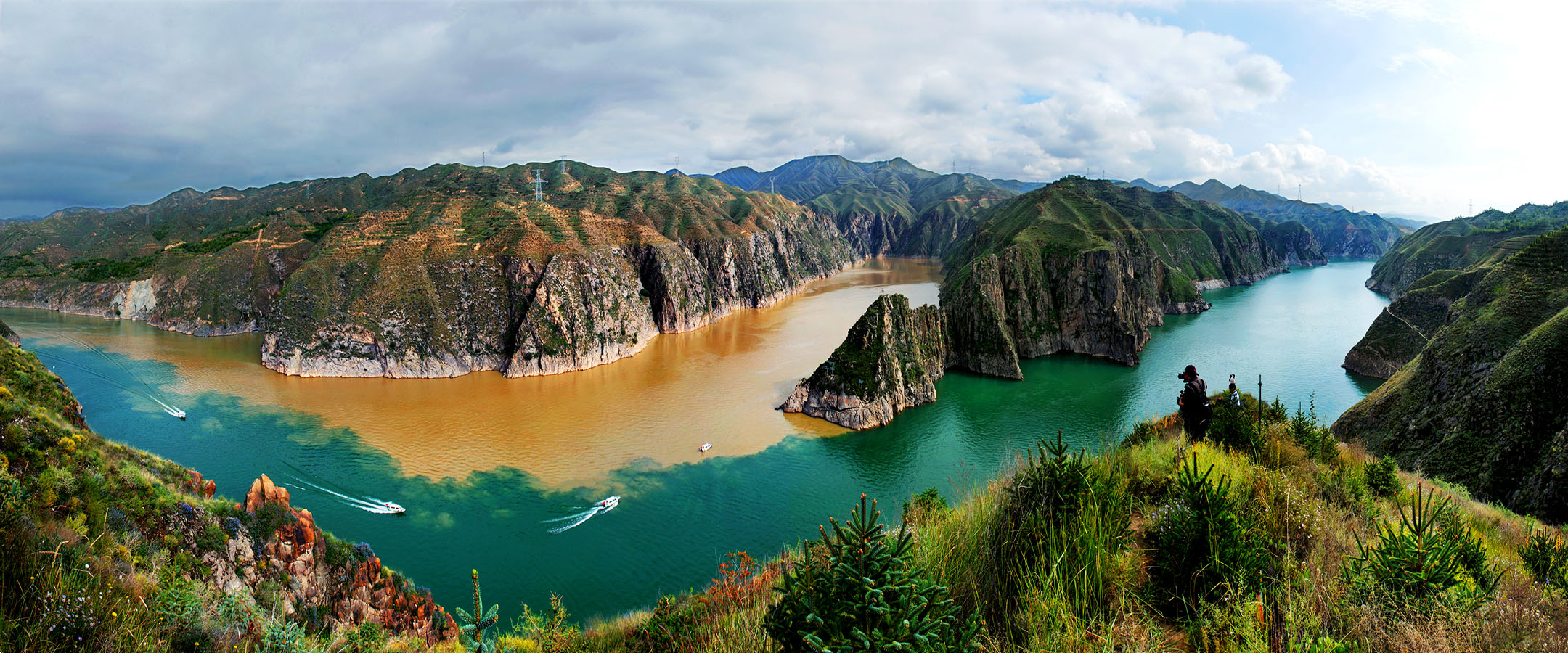
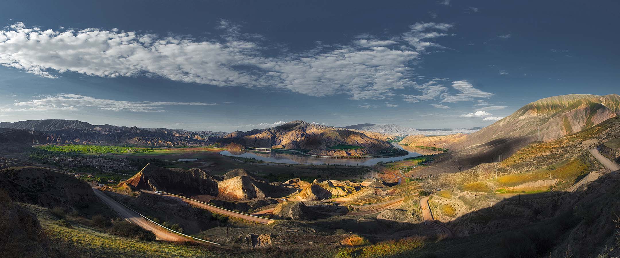
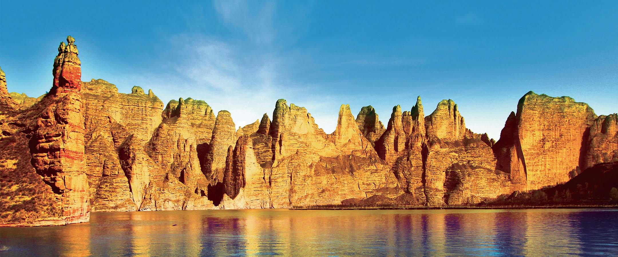
地层:地质公园范围零星出露有古元古代马衔山岩群(Pt1M.)、古生代奥陶纪雾宿山群(Ow)、晚三叠世南营儿组(T3n)地层,在地质公园北边大面积出露的早白垩世河口群(K1H),由一套河湖相的紫红色砂砾岩组成,该套地层在炳灵寺周边被切割侵蚀形成了丹霞地貌;古近纪(E)和新近纪(N)地层主要分布在地质公园中偏南部,这套地层沉积连续且厚度大,岩性主要为紫红色、褐黄色砂砾岩、泥岩等,是和政古动物化石群的重要产出地层。第四纪(Q)地层在地质公园广泛分布,其中下更新统地层中含有真马动物群化石,该动物群是和政四大古动物群之一,上更新统的风成黄土广布山坡上,被侵蚀切割形成黄土塬、黄土卯等地貌;全新统的多分布山间沟谷之中,以冲积物为主。
岩浆岩:地质公园属加里东期和燕山期的构造岩浆岩区,区内岩浆活动以早古生代岩浆作用为主,中生代岩浆作用为辅。公园内奥陶纪侵入岩较发育,主要岩性为花岗闪长岩、石英闪长岩、闪长岩等;侏罗纪侵入岩分布于地质公园邻近区域。火山岩见于公园东北角奥陶纪雾宿山群中,岩性特征为灰绿色、绿灰色斑状玻基玄武岩、玄武岩、橄榄玄武岩、玄武安山岩、熔结火山角砾岩、流纹质凝灰岩。
变质岩:地质公园内变质岩发育于古元古代马衔山岩群(Pt1M.)地层中,主要岩石类型为石英片岩、黑云斜长片麻岩、斜长角闪岩和方解石大理岩。
地质构造:地质公园位于临夏盆地,公园内的地质构造相对简单。临夏盆地是一个以雷积山深大断裂、秦岭北深大断裂和祁连山东延余脉马衔山围成的一个具有山前拗陷性质的盆地,属新近纪大型陇中盆地的西南隅。临夏盆地内沉积了连续的晚新生代地层,其产状基本水平,构造变形总体上不明显。但盆地西南部由于受积石山断裂和西秦岭北缘断裂的控制和影响,自大约 8 百万年前开始由西向东向盆地内部扩展,形成一个北北西向的不对称背斜构造,背斜东翼发育生长地层和生长不整合,记录了青藏高原向北东方向的扩展过程。
地质发展史:地质公园的地质历史,可追溯到元古代之前,至今已有 20 多亿年了。但最有意义的一段,则是白垩纪以来的这段地球历史。白垩纪时期,该区已经演化成为内陆盆地,形成了巨厚的河湖相沉积,即现今地质公园内的白垩系河口群。晚白垩世末期的燕山运动结束了白垩纪的沉降历史,造成白垩系红层普遍发生变形,形成较宽缓的褶皱和盆缘逆冲断层、盆内逆断层和正断层。致使古近系西柳沟组不整合在下白垩统河口群或更老的岩系之上。地质公园新生代的发展史就是一部临夏盆地的演化史和哺乳动物的进化史。古近纪,气候炎热干燥,古新统和始新统为一套以褐红色为特征的陆相碎屑岩建造;始新统和渐新统为以桔红色、砖红色及夹大量石膏层为主要特征的陆相碎屑岩建造;晚渐新世晚7期该区转为浅湖环境,直至中新世,这里都是温暖湿润的湖泊环境。该区哺乳动物的演化经历了晚渐新世巨犀动物群、中中新世铲齿象动物群、晚中新世三趾马动物群三个阶段。从上新世中期开始,青藏高原快速隆升,该区出现挤压、掀斜的构造变形。从第四纪的早更新世开始,该区湖泊逐渐消亡,黄河开始出现,早更新世真马动物群开始繁盛。但随着第四纪气候的频繁波动,真马动物群灭绝,至晚更新世晚期,该区沉积大面积的风积黄土;全新世以后,气候转暖,大量古人类在这里生存,留下了众多文化遗存。
Linxia UNESCO Global Geopark is located on the east side of the Taizishan fold fault zone in the northern part of the West Qinling block, on the southern edge of the Tianshui-Linxia fault basin. The geological formation and structure in the area are relatively simple.
Strata: In the northern geopark, except for the sporadically exposed Paleoproterozoic Maxianshan Group (Pt1M.), Paleozoic Ordovician Wusushan Group (Ow), and Late Triassic Nanying'er Formation (T3n), the Early Cretaceous Hekou Group (K1H) exposed to the north consists of a set of fluvial and lacustrine purple-red sandy conglomerate bearing dinosaur Footprint Group and forming Danxia Landform around the Bingling Temple. The Paleogene (E) and Neogene (N) strata, with continuous and thick deposits, are mainly distributed in the central and southern part of the geopark. They are the important bearing strata for the Hezheng mammalian fossil group and the rock units are mainly composed of purple-red, brown-yellow sandy conglomerate and mudstone. The Quaternary(Q) strata are extensively distributed in the geopark, of which the Lower Pleistocene strata contain fossils of the equus fauna, which is one of the four ancient Hezheng faunas. The upper Pleistocene aeolian loess is widely spread on the hillside and was eroded and cut to form landforms such as loess tableland and hillock. The Holocene strata are dominated by alluvial deposits in the valleys.
Geological structure: The geopark is located in the Linxia Basin and its geological structure is relatively simple. The Linxia Basin is a piedmont basin surrounded by the Jishishan Fault, Qinling North Fault and Maxianshan of Qilian Mountain, and is in southwest corner of the large Longzhong Basin in the Neogene. A continuous Late Cenozoic stratum is deposited in the Linxia Basin with near-horizontal occurrence and generally unapparent structural deformation. However, the southwestern part of the basin, controlled and influenced by the Jishishan fault and the northern boundary fault of the West Qinling, since ~8Myr ago, has expanded from west to east to the interior of the basin, forming a NNW-trending asymmetric anticline. The east wing of the anticline developed growth strata and growth unconformities, recording the time and process of the northeastward expansion of the Qinghai-Tibet Plateau.
Geological development history: The geological history of the geopark can be traced back to the Proterozoic more than 2 billion years. But the most significant is the period of earth history since the Cretaceous. During the Cretaceous, this area has evolved into an inland basin, forming very thick fluvial and lacustrine deposits, namely the Hekou group in the geopark. The Yanshan Movement at the end of the Late Cretaceous terminated the sedimentation history of the Cretaceous and caused widespread deformation of the Cretaceous red beds, forming relatively wide folds, thrust faults in the basin margin, intra-basin reverse and normal faults. As a result, the Paleocene-Eocene Xiliugou Formation overlies the Lower Cretaceous Hekou group in angular unconformity. The Cenozoic development history of the geopark is the evolution history of the 5 Linxia Basin and of the mammals. In the Paleogene, the climate is hot and dry, the Paleogene-Eocene strata is a set of maroon continental clastic rocks; in the Eocene-Oligocene, the strata is primarily terrestrial clastic rocks characterized by orange-red, brick red rocks with a large amount of gypsum layers; in the late Oligocene, the area turned into a shallow lake environment, and until the Miocene, was always in a warm and humid lake environment. The mammals in this area experienced three evolution stages: the late Oligocene Indricotherium fauna, the mid-Miocene platybelodon fauna and the late Miocene hipparion fauna. Since the middle Pliocene, owing to the Qinghai-Tibet Plateau rapidly uplifted, the area experienced compression and tilting structural deformation. From the early Pleistocene of the Quaternary, the lakes in the area gradually disappeared, the Yellow River appeared, and the early Pleistocene equus fauna began to flourish. With the frequent fluctuations of the Quaternary climate, the equus fauna was extinct. By the late Pleistocene, a large area of aeolian loess was deposited in the geopark; as the climate got warmed after the last glacial period, a great deal of ancient humans lived here, left many ancient human cultural sites.
