详情>>
Detail>>
English
Chinese
首页
Home
公园概况
Introduction
公园简介
About
生态资源
Resource
管理机构
Organization
联系我们
Contact
新闻资讯
News
新闻媒体
News Media
公园动态
Park Dynamics
公示公告
Public Announcement
地质资源
Geology
地质遗迹
Geoheritage
化石资源
Fossil Resouces
政策法规
Policies
人文特征
Culture
博物馆
Museum
科研科普
Science Popularization
科考路线
Route
科普知识
Knowledge
科普活动
Activities
科普学校
School
科普社区
Community
下载中心
Download
旅游指南
Travel
公园导览
Guide
公园风光
Scenery
旅游路线
Travel Route
酒店信息
Hotels
特色美食
Food
在线购票
Ticket
合作交流
Cooperation
姊妹公园
Sister Geoparks
合作伙伴
Partners
对外交流
Communication
景区相册
Album
在线订票
Ticket
旅游攻略
Travel
酒店信息
Hotels
联系我们
Contact
置顶
ToUp
首页
Home
生态资源
Resource
公园概况
Introduction
公园简介
About
生态资源
Resource
管理机构
Organization
联系我们
Contact
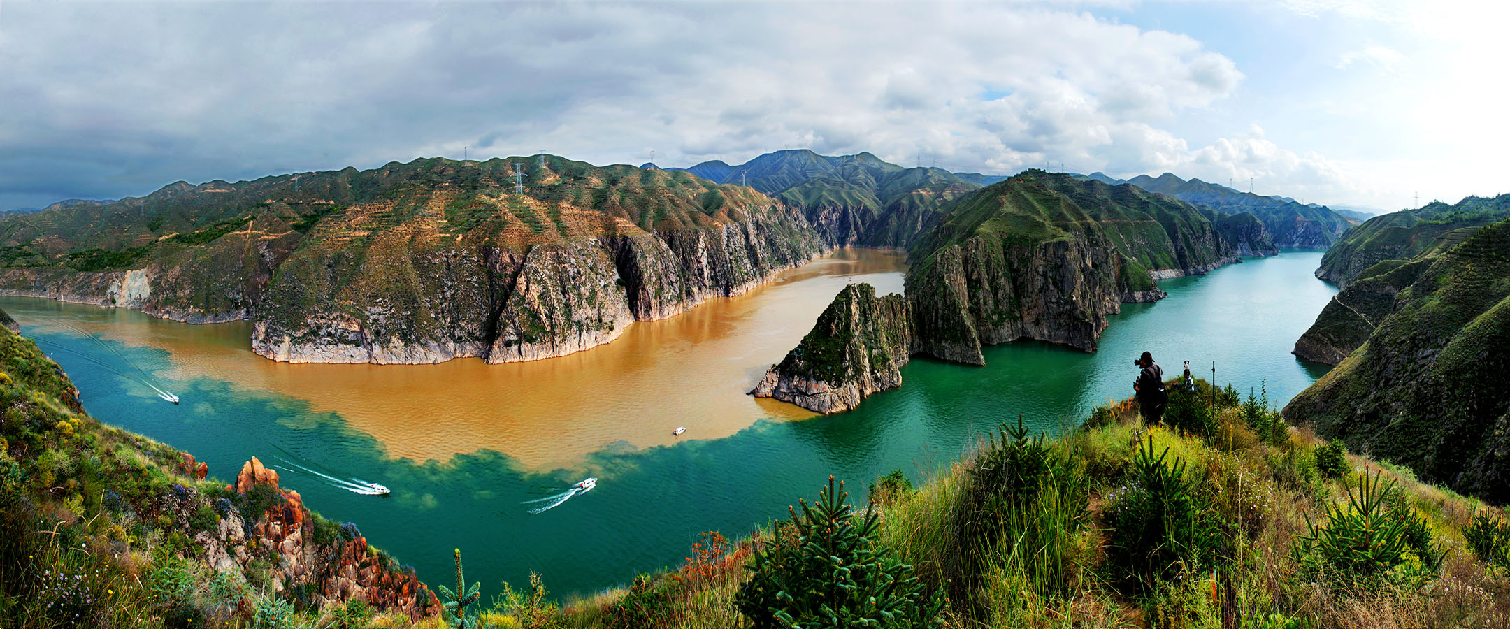
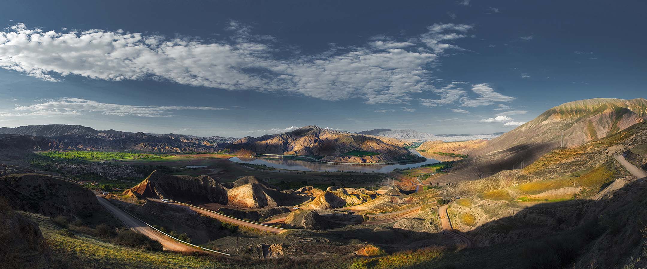
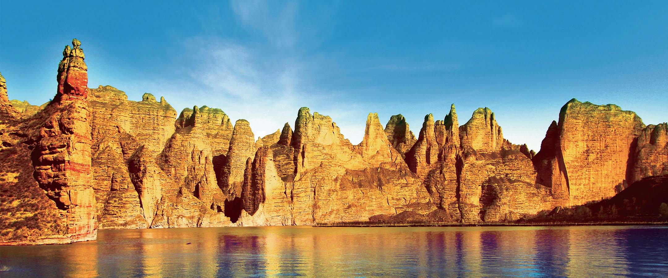
生态资源
Resource
Mr.
Mr.
555
555
Mr.
Mr.
555
555
Mr.
Mr.
555
555
Mr.
Mr.
555
555
Mr.
Mr.
555
555
Mr.
Mr.
555
555
Mr.
Mr.
555
555
Mr.
Mr.
555
555
Mr.
Mr.
555
555
Mr.
Mr.
555
555